Digital Mapping Bundle
Geographers and those with digital mapping skills thrive on complex challenges and want to make a real impact on lives and our environment.
The Digital Mapping bundle is connected to the Geography program at UNI. The interdisciplinary nature of geography makes it a stimulating area of study that has many digital-oriented career paths.
Geographers are behind the maps you use every day, as well as the policies that shape our cities and infrastructure, and the analysis that sustains our environment – and you can be, too!
This bundle introduces students to a variety of different digital technologies, including geographic information system (G.I.S.) databases, digital mapping tools, drones, 360º camera imaging, surveying equipment, and visualization software.
For more information, contact Dr. Mark Welford, head of the UNI Department of Geography, at mark.welford@uni.edu

What exactly does a geographer do?
Geographers and those with digital mapping skills can do a wide variety of things...
- Help shape the future design of cities and infrastructure
- Assess the impacts of rising sea levels, melting glaciers, and tropical storms, while others study impacts of wildfires or manage wetlands
- Analyze new markets and locations for businesses
- Use cutting edge satellite data to defend human rights by detecting large-scale abuses. They also work directly with local people on social justice issues such as health and migration
The Digital Mapping bundle pairs well with...
Visualization
Data visualization, which includes charts, tables, and maps, is an important part of the creative projects developed and designed in the Visualization bundle.
Computation/Web Development
Code and programming are essential elements behind a lot of advanced geographic imaging tools. Both Computation and Web Development are helpful complements to the Digital Mapping bundle.
History
Increasingly, digital humanities projects call for integrated interactive mapping components. The History bundle introduces you to what is possible.
Geography major/minor
You may decide that you like digital mapping so much you will make the Geography Department your academic home.
Digital Mapping Projects at UNI
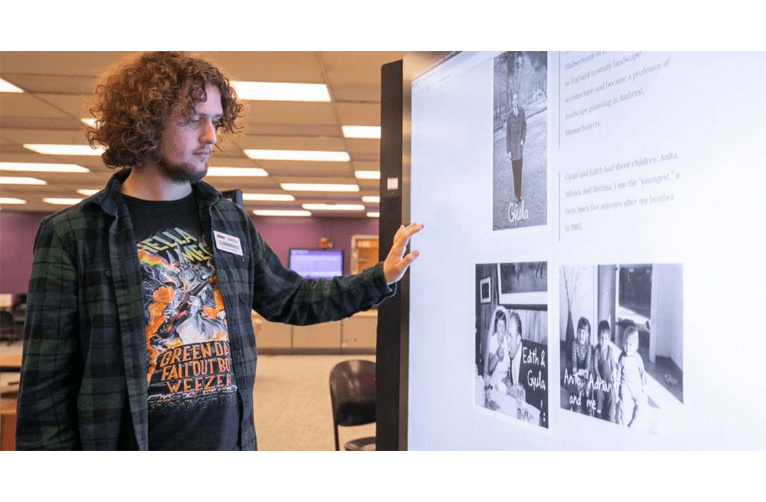
IDS faculty are currently working with Digital Mapping students to geolocate historical photos onto a 360º streetview-like plane, towards an augmented reality history project called “Mainstreet 360º”.
Other geography faculty research and apply drone videography, data visualization, and G.I.S., studying riverbeds and examining global warming in the arctic tundra. Interactive media plays a large role in how geographic research is conducted and communicated.
Career Possibilities
- Cartographer
- Geographic Information System (GIS) Technician, Analyst, Programmer or Manager
- Geospatial Software Developer
- Digital Cartographic Designer
- Drone Operator for Mapping and Communication
- Land Survey Technician
- Data Visualization Specialist
- Geospatial Systems Engineer
- Government spatial data specialist (NASA, NOAA, NGIA (National Geospatial-Intelligence Agency), CDC (Center for Disease Control), CIA, DOT
- IT/GIS specialist in Google, Facebook, Twitter, US Marines, Army, Navy, Airforce
- Project Manager/GIS Analyst/Planner – WalMart, Walgreens, Oil Companiest
- City Manager/Planner
- Market Analyst
- GIS Crime and Predictive Policing Analyst
- Environmental Manager/Consultant
- Recreation Analyst
- Park Ranger
- National Geospatial Security Analyst
- Natural Hazards Insurance Analyst
- Agronomy GIS specialist